
Argos Connected Solutions
Elite Geotab reseller, employee-owned, with contract vehicles and GIS-verified route completion for public works fleets.
Indianapolis, IN

Fleet and field service platform with GPS tracking, AI dash cameras and ELD compliance, built around public fleet needs like proof of service.
GPS Insight provides a fleet and field service platform covering GPS tracking, AI dash cameras, field service management and ELD compliance. Its government program is built around public fleet realities: validating service delivery to residents, exonerating drivers with video, automating preventive maintenance and documenting green initiative progress. Municipal customers have put its geofencing to inventive use, mapping city manholes with attributes such as power and hazardous materials so the right crew and equipment get dispatched, and geofencing large maintenance yards to locate mobile assets without a search. The platform offers more than 25 alert types and over 60 reports, with configurable dashboards.
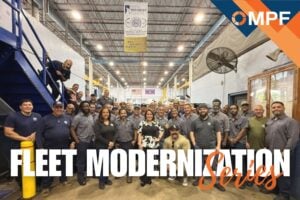 Miami Modernizes From the Inside Out
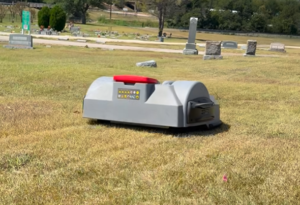 Taylor, Texas, Deploys Robot Mowers at City Cemetery
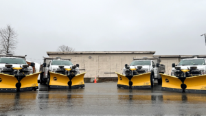 Mission, B.C. Expands Snow Fleet and Routes for Improved Winter Response
 What Decades in Fleet Can Teach the Next Generation
Elite Geotab reseller, employee-owned, with contract vehicles and GIS-verified route completion for public works fleets.

Our GPS fleet tracking & management system equips thousands of fleets worldwide with technology to automate, track and manage a truly optimized operation.

GPS fleet management on the Verizon network, with AI dash cams, fuel card pairing to stop slippage, and Sourcewell and GSA purchasing for agencies.

Motive provides an integrated platform to help improve the safety, productivity, and profitability of fleet operations.


The Solutions Guide is a curated, original compilation by Modern Public Fleet. Individual lookups and linking are welcome; bulk extraction or republication is not. Guide terms.