Finger Lakes Counties Lack Public Plow Trackers as Town Contracts Complicate Regional GPS Maps
Five counties rely on dozens of contracted town crews, making a countywide tracking map dependent on separate town budgets and boards rather than county action alone.
Source: Fingerlakes1.com ↗
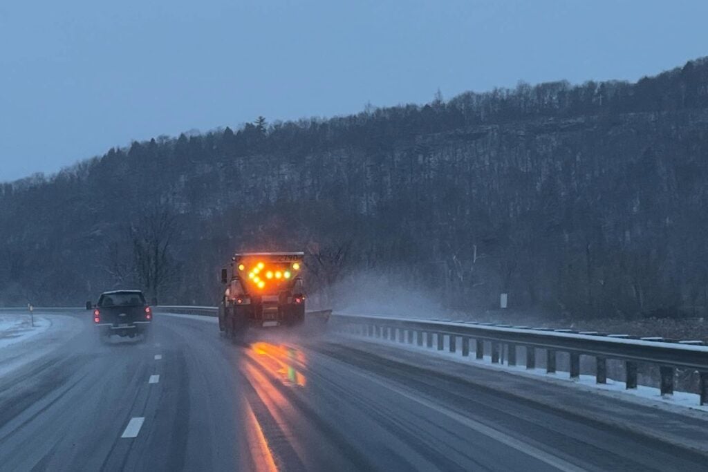
None of five Finger Lakes county highway departments in New York, in Livingston, Ontario, Yates, Tompkins and Cayuga counties, operates a public snowplow tracking map, and the region’s reliance on town crews under contract is likely part of the reason, FingerLakes1.com reported.
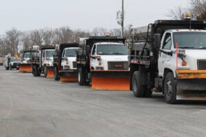
A FingerLakes1.com check of each county highway department’s website in early November 2026 found no public plow map and no indication that GPS had been installed on county trucks in Livingston, Ontario, Yates, Tompkins or Cayuga counties. Part of the reason may be how each county handles winter road work. In Livingston County, all 17 towns handle plowing and salting of county roads under contract. Ontario County’s winter road budget works the same way, built around agreements with its 16 towns. Seven of Yates County’s nine towns are paid to cover the road miles that county crews do not plow, which amounts to more than half the county total. Tompkins County relies on seven towns for help on county roads. Cayuga County pays town highway departments to clear designated county routes. Dozens of separate town governments, each with its own superintendent, budget and board, would all need GPS-equipped trucks before a countywide public map could work in most of the region.
Steuben County is the regional exception, with about 50 plows operated out of the county public works department. Even Oneida County, which added its own county plows to an online map in January 2024, ran into the same limit: county roads plowed under contract with towns and villages do not appear on it. The same GPS units give Oneida County’s public works department live mechanical status on each truck.
The technology is in routine commercial use. Each truck’s GPS unit transmits its position over the cell network, and software matches those coordinates to a street map, coloring each road segment by how long it has been since the last plow pass. Buffalo’s city documents put the cost of each locator at around $265. Delivery fleets, school bus contractors and farms buy from the same market of vehicle location tools.
Three larger New York cities have operated public trackers for several years. Rochester’s PlowTrax activates during snow events and follows roughly 150 plows by GPS, refreshing every five minutes; managers in the city’s environmental services department use it during a storm to adjust routes while trucks are still out, and residents can see the block group assigned to each truck. Buffalo has had a public tracker since the winter of 2022-2023; the GPS contract there was signed in November 2020 and the public map opened two years later, in November 2022. Syracuse upgraded GPS units on its plows and added dashcams in 2021. Its chief innovation officer, Conor Muldoon, has said complaint calls have dropped by about 30% since. When a resident calls to report an untouched street, the city can pull the timestamp of the last plow pass. In some cases that pass came only a couple of hours before fresh snow covered the work. According to Syracuse’s 2022 review of its system, senior staff and the snow operations team ask for new measurements and tools after every storm, so the map keeps changing.
The state already tracks its own trucks this way. Every large Thruway plow carries an enhanced GPS unit that reports the vehicle’s route, air and pavement temperatures, and deicing material spread rates. Starting with a 2024 pilot program, devices installed on 50 heavy-duty plows push alerts into navigation apps so motorists receive a heads-up when a plow is operating nearby. Because the Thruway runs through Ontario, Seneca and Cayuga counties, Finger Lakes commuters on a rough night are already traveling alongside those monitored machines. Across the broader state highway network, the 511NY map reflects conditions reported directly from plow cabs, indicating whether a given road is snow-covered, wet, dry or closed.
None of the Finger Lakes county highway pages checked in November 2026 mention a plan for a public tracker. Tompkins County launched an online map in June 2026 for road construction projects, not winter plowing. In most of the region, any decision to add GPS tracking to contracted town trucks would sit with individual town boards as much as with county legislatures.